Our services
Aerial photogrammetric surveys
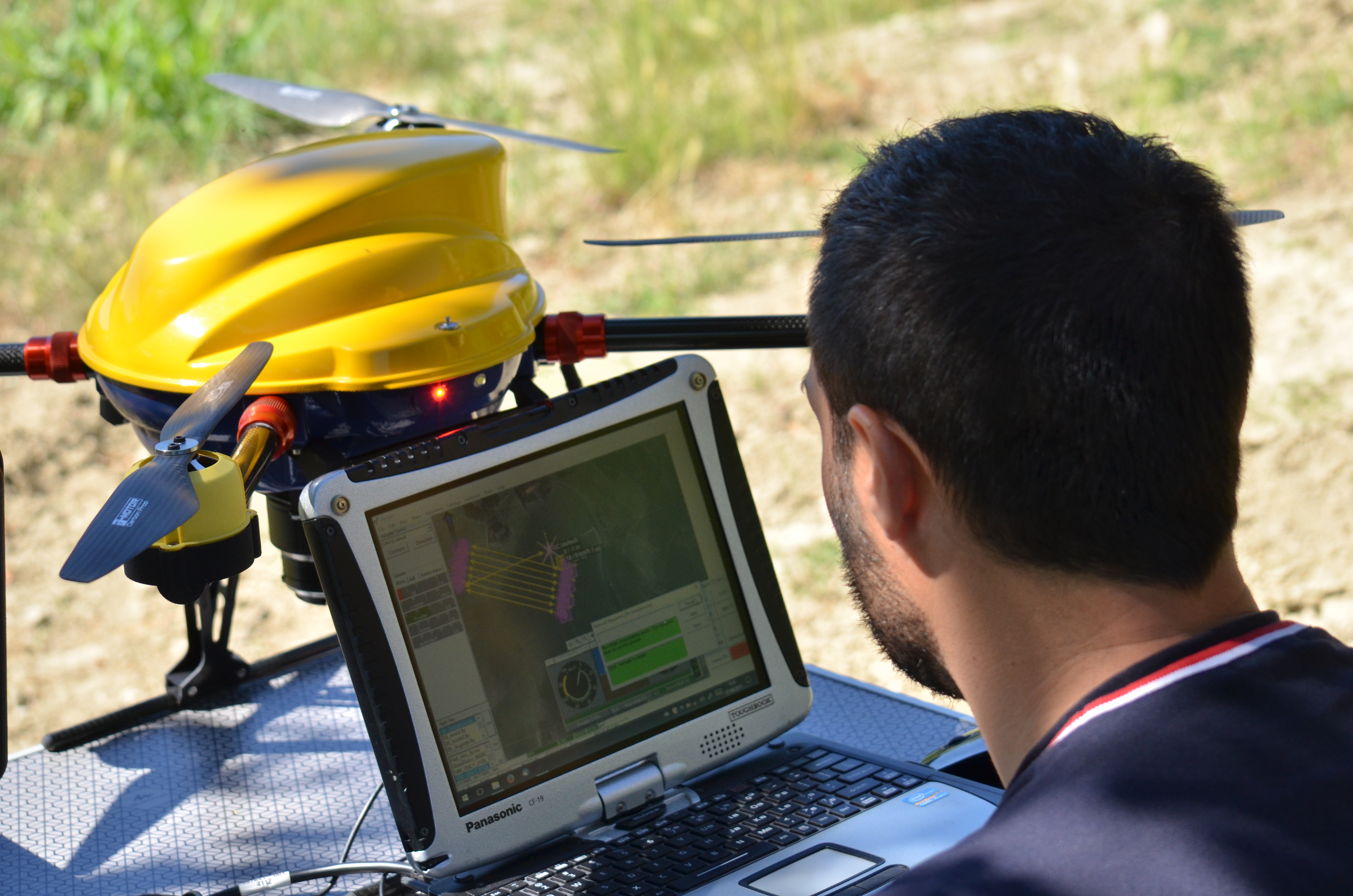
We create aerial images acquired using a remotely piloted system, with advanced sensors for the surveying and high-resolution three-dimensional rendering of the area that constitutes the subject of the survey.
By planning a strict flight plan, an advanced automatic pilot system and integration with land survey instruments, we are able to acquire, process and extract high-precision digital models of the land, point clouds, level curves, longitudinal profiles and transversal sections. The data can be georeferenced depending on the conventional coordinate systems or depending on the local coordinate systems.
The use of this technology gives satisfactory and beneficial results, as the acquisition times are rapid, the data processed is precise and georeferenced and the survey operations can also be carried out in areas, which are extremely difficult or dangerous to access. Furthermore, compared with the traditional aerial photogrammetric methods, the costs are reduced
Using our drones enables us to provide the following data:
- etailed and updated ortho-photos;
- DTM (Digital Terrain Model);
- point clouds;
- 3d textured mesh;
- level curves;
- transversal sections;
- sharing of data by cloud with 3d visualizer supplied by us;
- calculation of the volumes relating to land movements, excavation material stored in quarries, landfills and building sites.
Precision agriculture
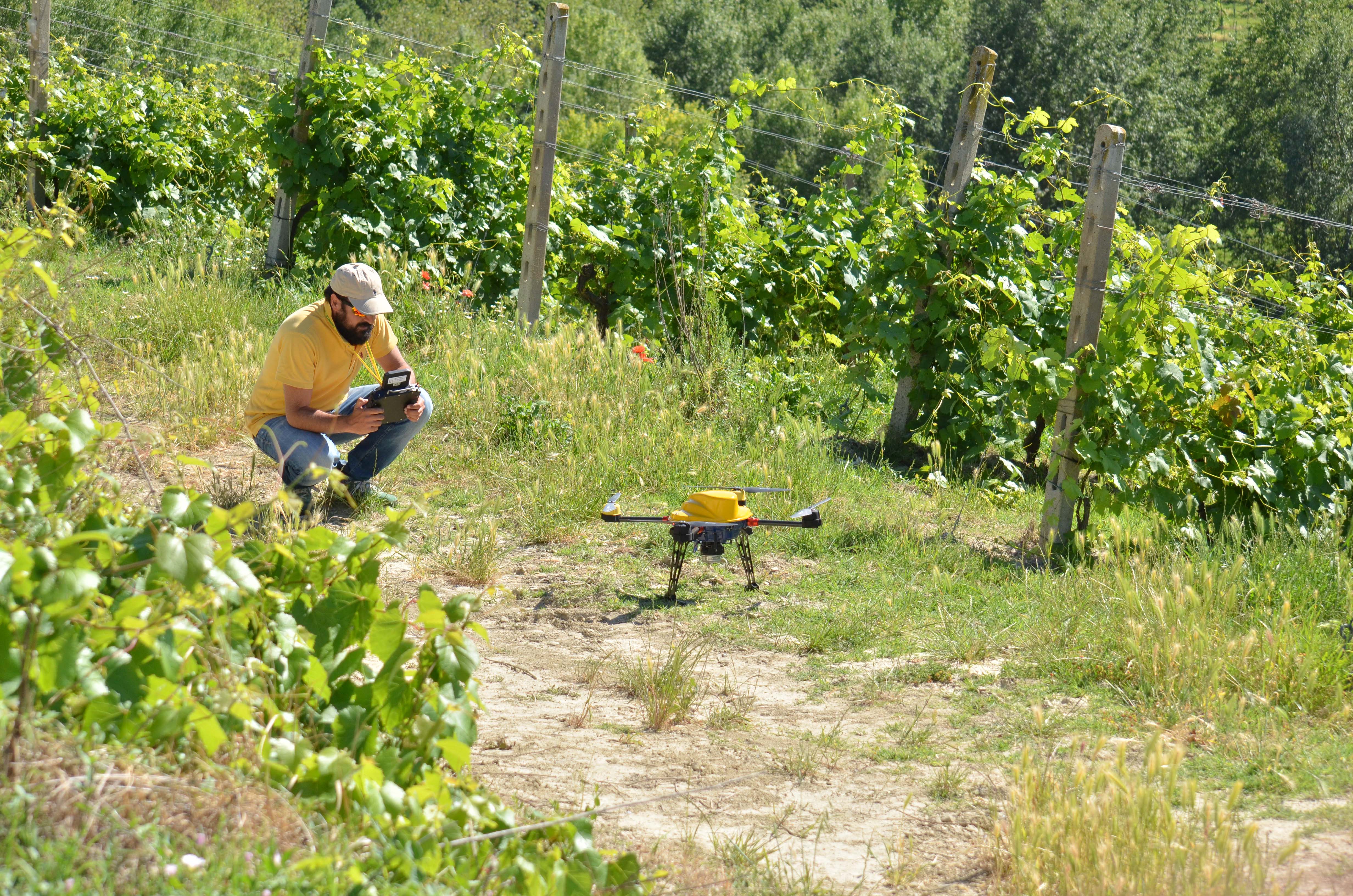
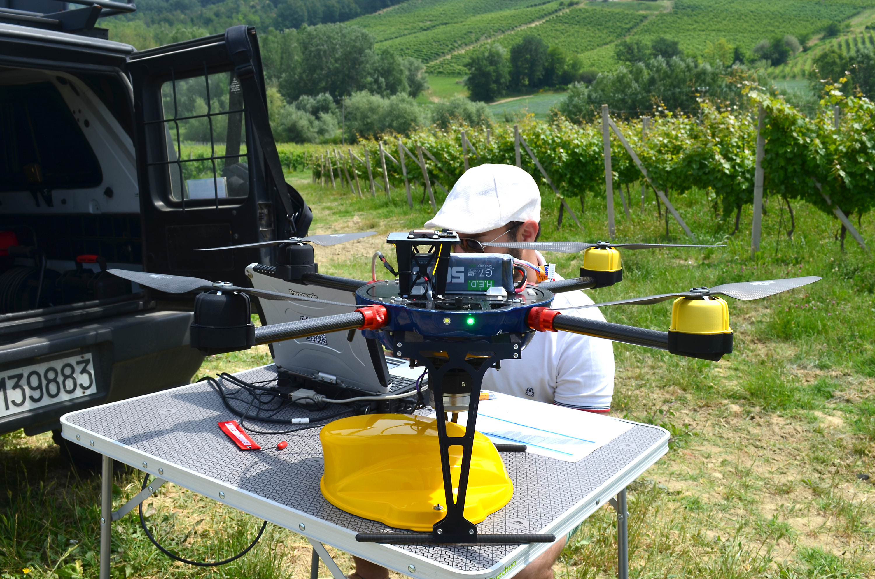
We offer support in the agricultural sector, using our remotely piloted means. In particular, we create georeferenced maps relating to the most advanced vigour indices, indices relating to water content in plants, indices that consider the soil factor, slope and aspect maps. The aerial survey is planned based on what is envisaged for aerial photogrammetry and carried out in automatic mode. The overflight provides mosaicable frames and metadata, in a precise and repeatable manner. The result is a high-spatial resolution multispectral map based on the incident light. The survey can be repeated on a regular basis or a one-off and can be personalised depending on the specific needs of the crop and agronomist using these surveys.
We are able to process and provide the following data and indices:
- ENDVI maps relating to the vigour index;
- OSAVI maps relating to the vigour index, which considers the soil factor;
- NDWI maps relating to the water content in plants;
- prescription maps;
- slope and aspect maps;
- thermal analyses for detecting water stress of the land and plants;
- survey for damage caused by atmospheric events or parasites.
Monitoring and inspections
We use remotely piloted aerial systems equipped with high-definition sensors to monitor the state of maintenance of the main infrastructures, such as wind turbines, photovoltaic parks, power plants and hydroelectric power plants, gas pipelines, viaducts, canals, dams and all types of installations located in areas, which are difficult or dangerous to access.
Specific monitoring and inspection service techniques:
- drones equipped with special sensors, fitted with safety devices;
- high-definition photos, with a resolution of over 20 MP and videos in 4K;
- possibility of working in unfavourable weather conditions;
- thermal sensor for thermographic inspections of photovoltaic panels, inspections of buildings and industrial sites and the identification of thermal anomalies.
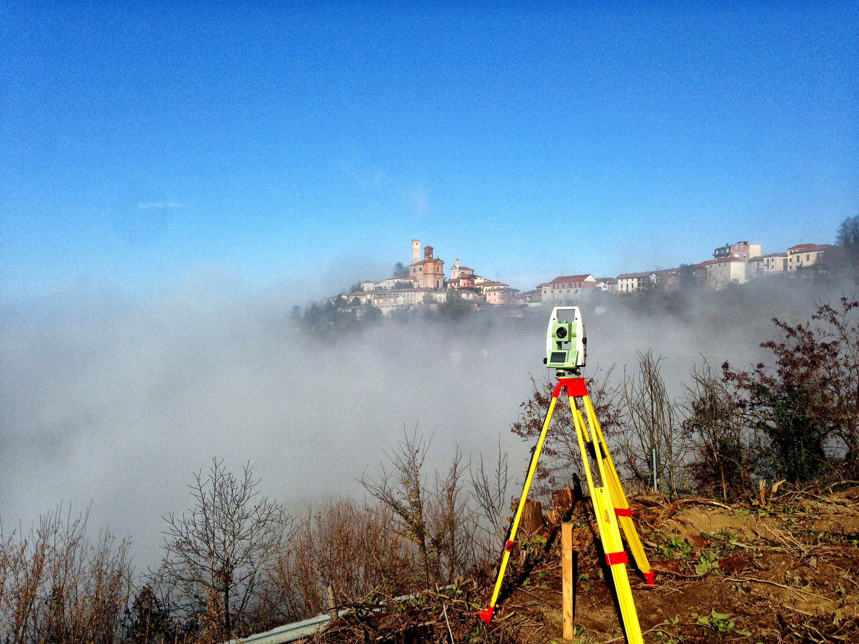
Land surveys
We have surveying instruments, such as total stations and GPS for carrying out the most accurate surveys in the various fields of application. We perform land surveys and geodetic surveys on a varying scale, polygonal and levelling with definition of landmarks, tracings of infrastructures and subservices, elevation inspections using DTM of reference, cadastral cartographic updates and reconfinements.
Instruments at our disposal:
- GPS Leica receivers with GNSS/GPS technology;
- Leica TCR 1205 total station;
- Leica laser distance meter;
- Electronic laser level.