Project Description
Contour plan
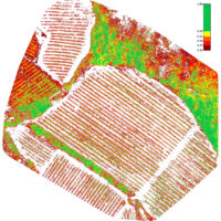
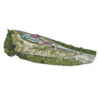
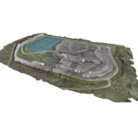
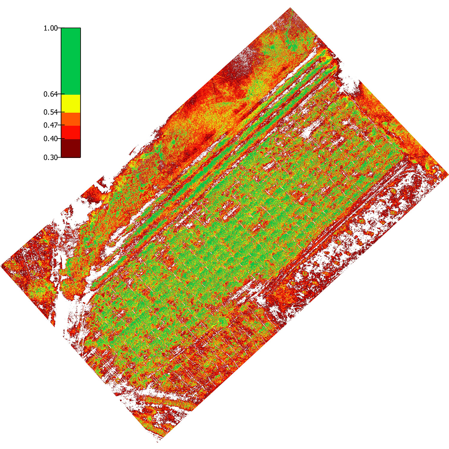
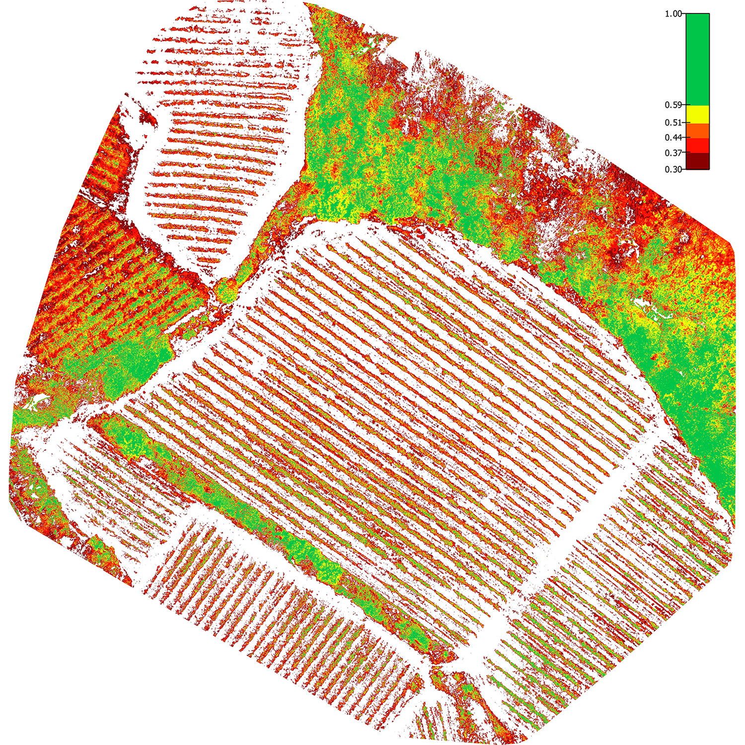
Assignment designed to draw up a georeferenced contour plan with the materialisation on site of landmarks leveled with surveying instruments and control points for the subsequent tracings. It is aimed at a flattening project for the new construction of a residential building. Graphic rendering of the survey by point representation of x,y,z coordinates. Calculation of the transversal sections of the fill and excavation volumes.
Project details
DATA
December 18th, 2015
CLIENTE
Client Company Name


