Project Description
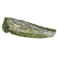
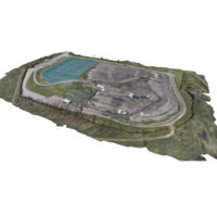
Landfill volume survey
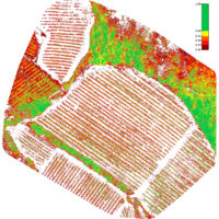
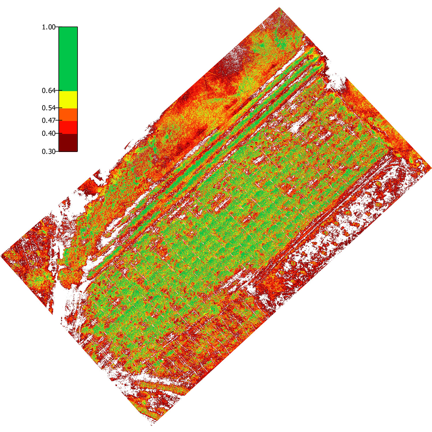
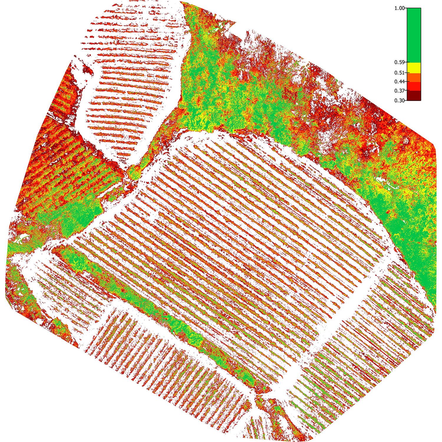
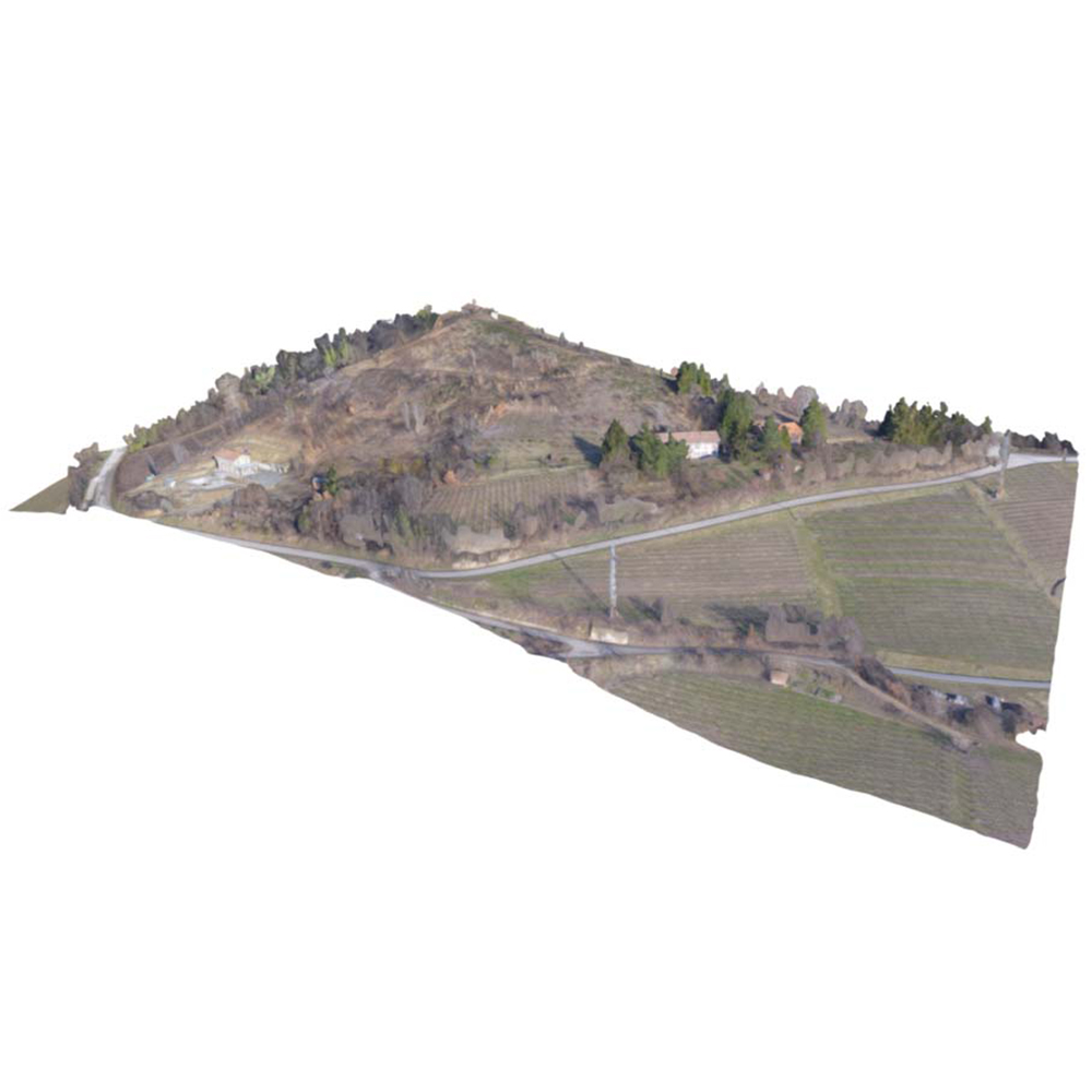
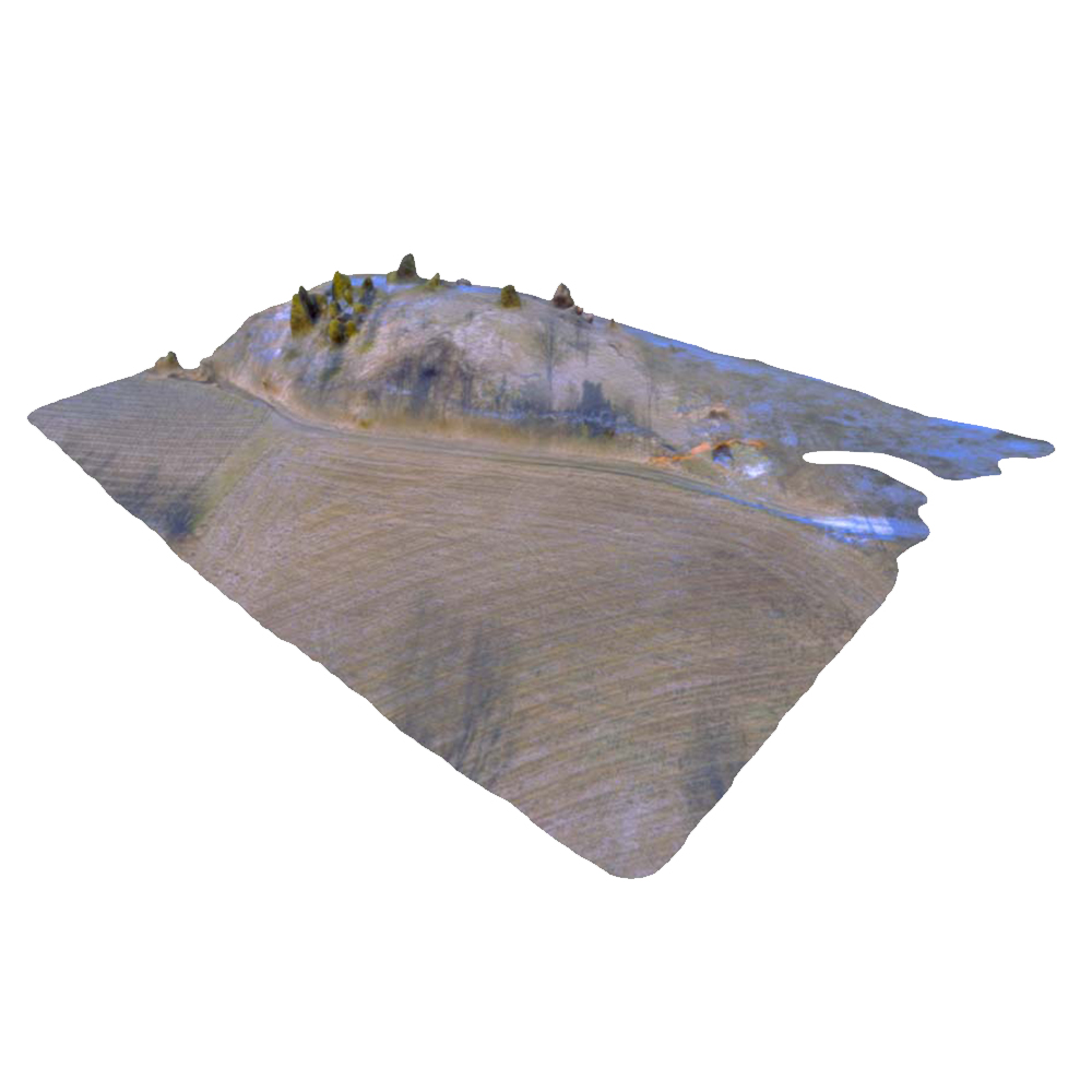
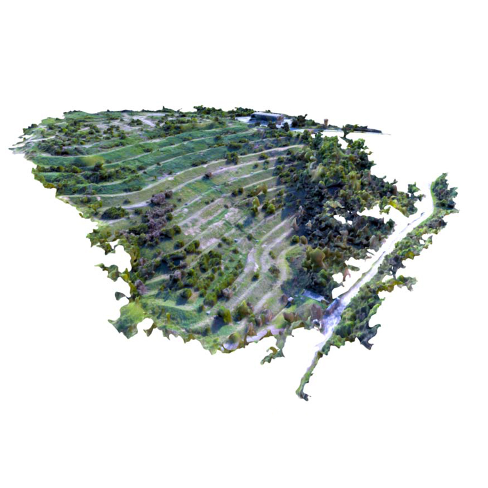
Assignment designed for the topographic environmental monitoring of a waste collection plant. It consists of acquiring data using an integrated aerial photogrammetric system with GPS instruments and total station aimed at calculating the x, y and z coordinates of all of the points surveyed. Graphic rendering of the survey by elevation point representation, calculation of the volume and elevation inspections using reference DTM.
Project details
DATA
Work in progess


