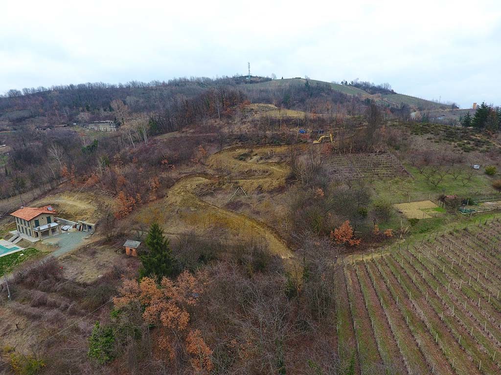
Project Description
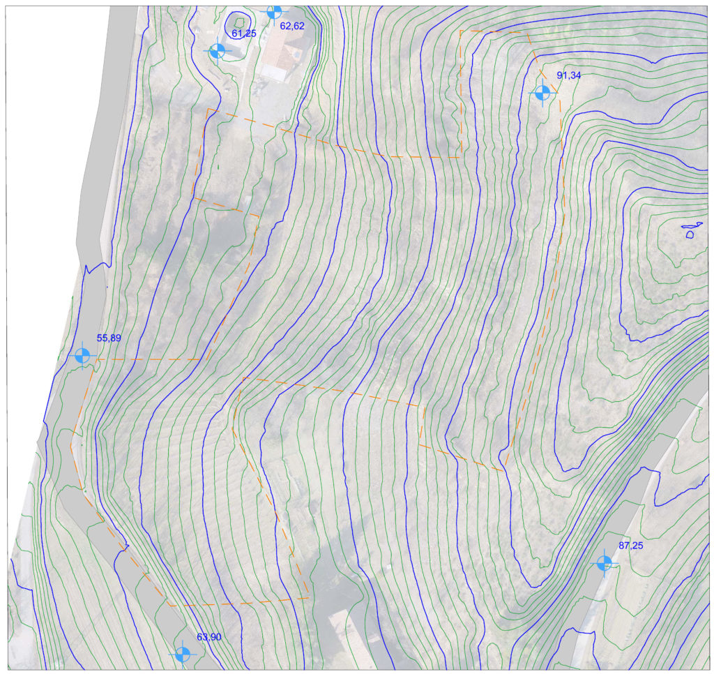
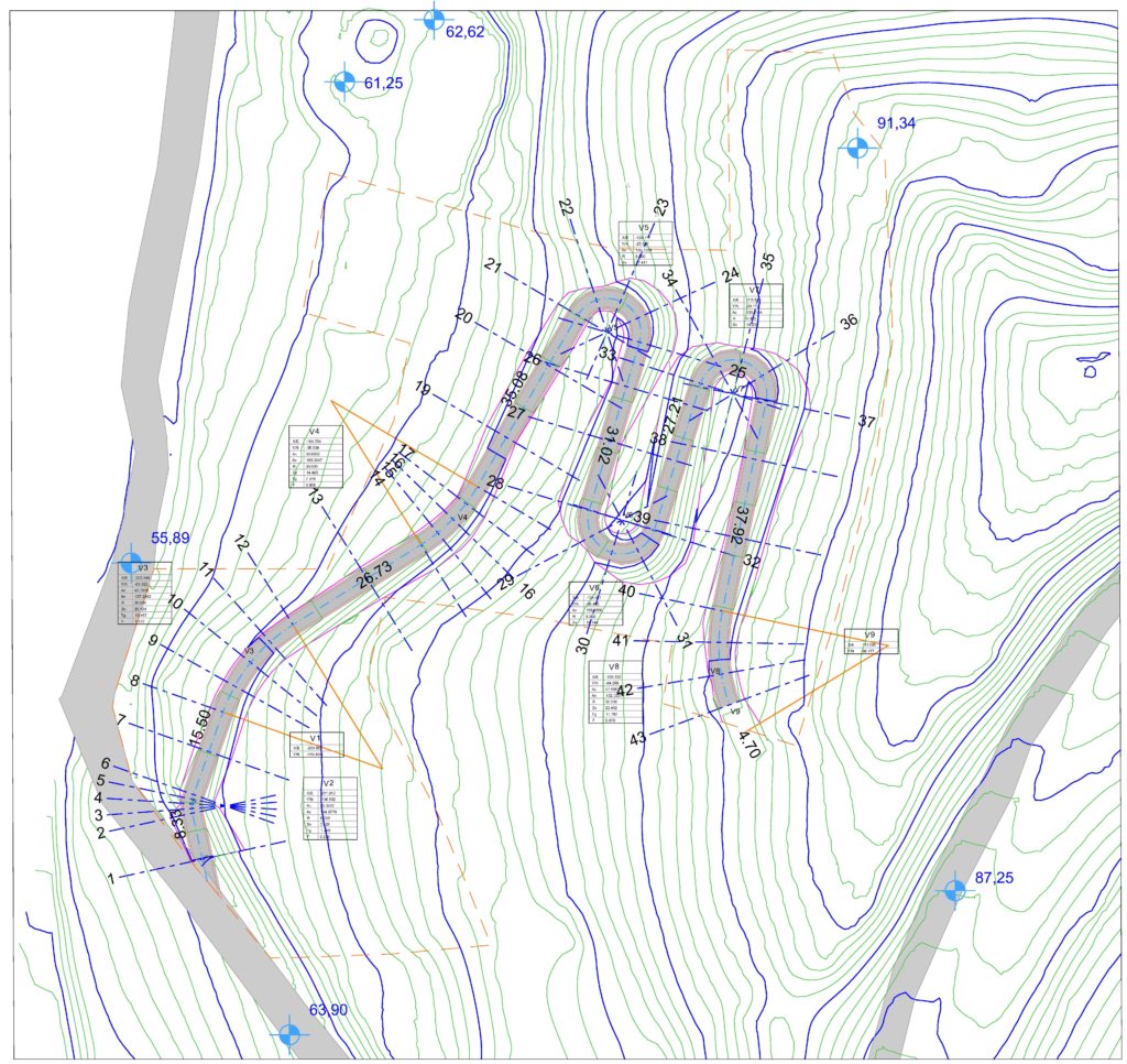
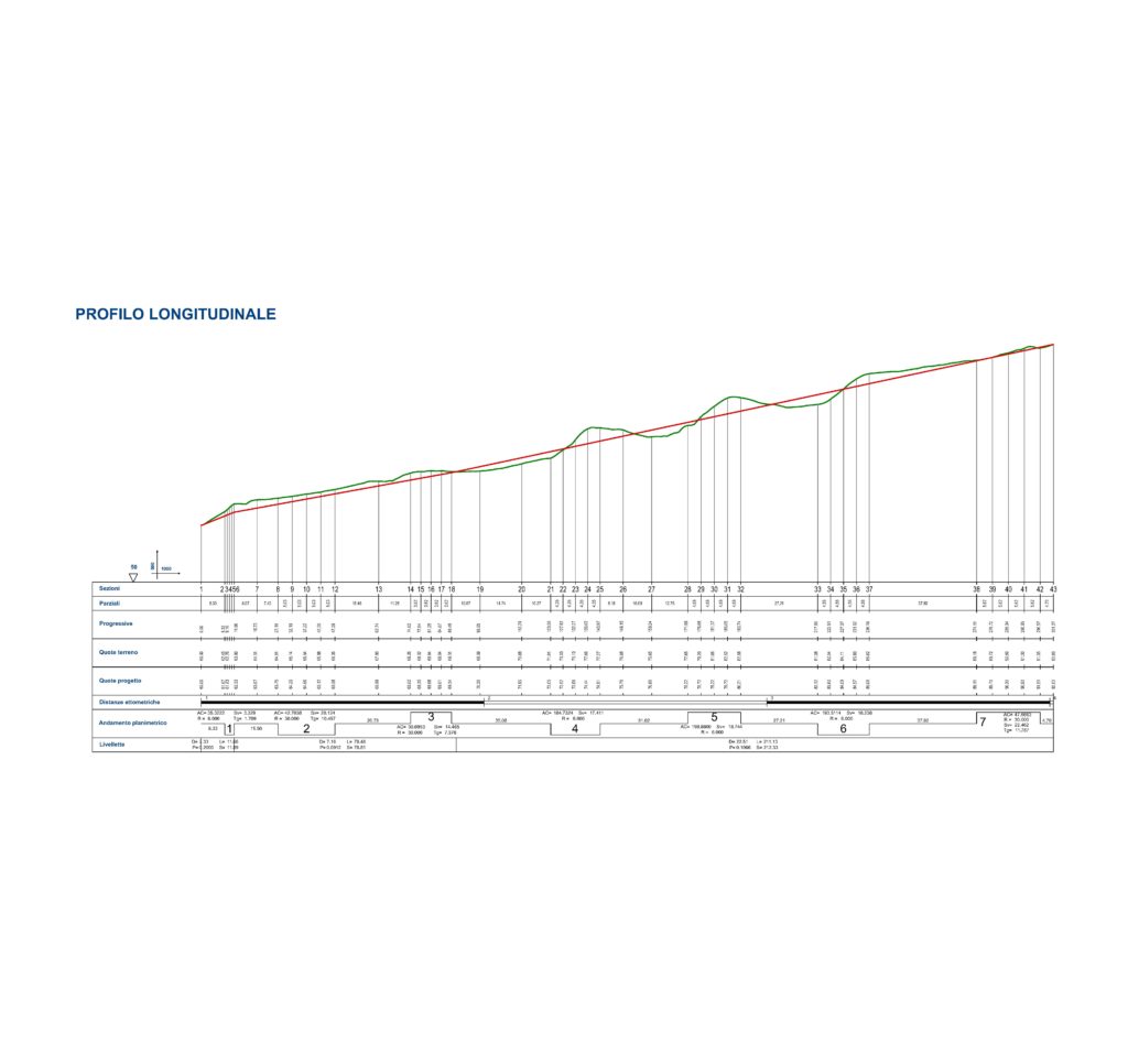
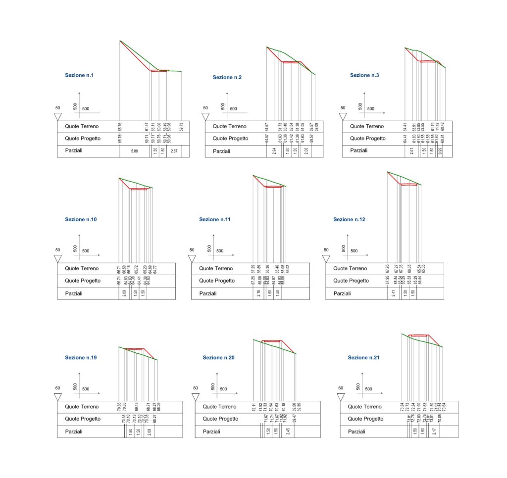
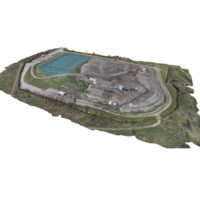
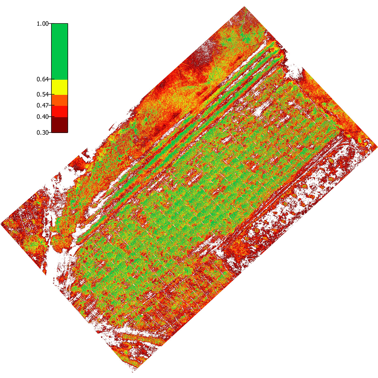
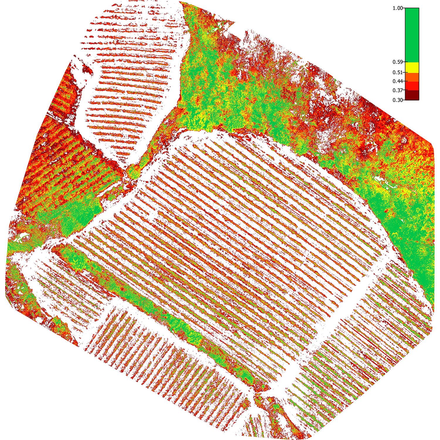
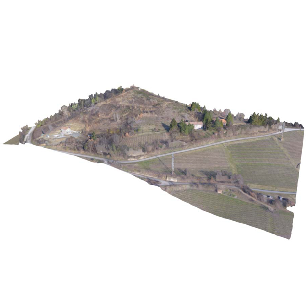
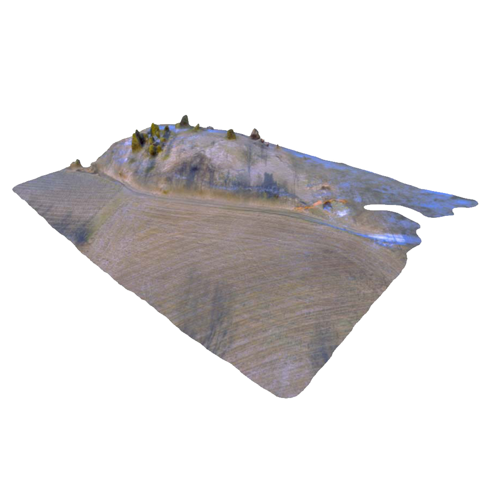
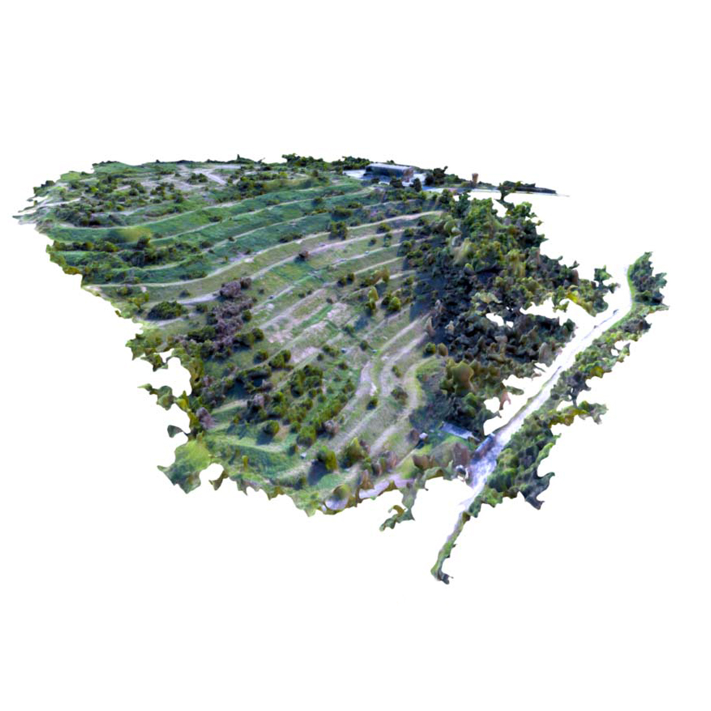
Slope survey
Assignment designed for aerial photogrammetric and topographic survey with the materialisation of control points surveyed and levelled using surveying instruments. Its aim is to create a digital model of the land represented by a 3D point cloud used for developing a new road layout. Rendering on digital support in the commonest 3D formats.
Project details
DATE
Fabbraio 2017
CLIENT
Private


